.

Sunset over fertilizer plant near El Centro in the Imperial Valley
Imperial County has ten unincorporated towns the size of Seeley and its sister community Heber, and 59 other smaller “colonias” or settlements.
Having light posts and a water fountain on the field make it more attractive to kids with little to do in this small community. But these basic amenities only scratch the surface of the problems faced by youth and other residents in Seeley.
Across the street from the local elementary school sits an abandoned house that has come to be known as “the graffiti house.” There, the local mota smokers and mainliners get together and party, leaving beer bottles and even syringes lying on the empty floors. Huge holes have been punched through walls covered in graffiti. Electrical conduits have been pulled out and ripped open, in search of copper wire to sell for scrap.
Being a teenager in Seeley has its dangers. But an even worse one isn't visible at all. It's in the air.
As Joahn Molena sits in his back yard, hugging his pit bull in front of his henhouse, dust coats everything outside his home. Molena's proud of his white Honda Civic, with its mag wheels. It's a few years old, but still in primo condition. Of course, he has to wash it almost every day because dust in Seeley is everywhere.
It blows in from the fields that surround the unincorporated communities. In Heber, that dust comes from the empty expanses at the edge of town that previously housed corrals for the El Toro Land and Cattle Company. The hooves of the cattle housed there ground animal waste into the earth in those empty lots. Neighbors worry now about what the dust might contain. Manuel Gonzalez (who is retired, but asked that his real name not be used) lives at the end of the street, where it meets the field. "Every day my wife vacuums up the dust in the house, but an hour later it's back."
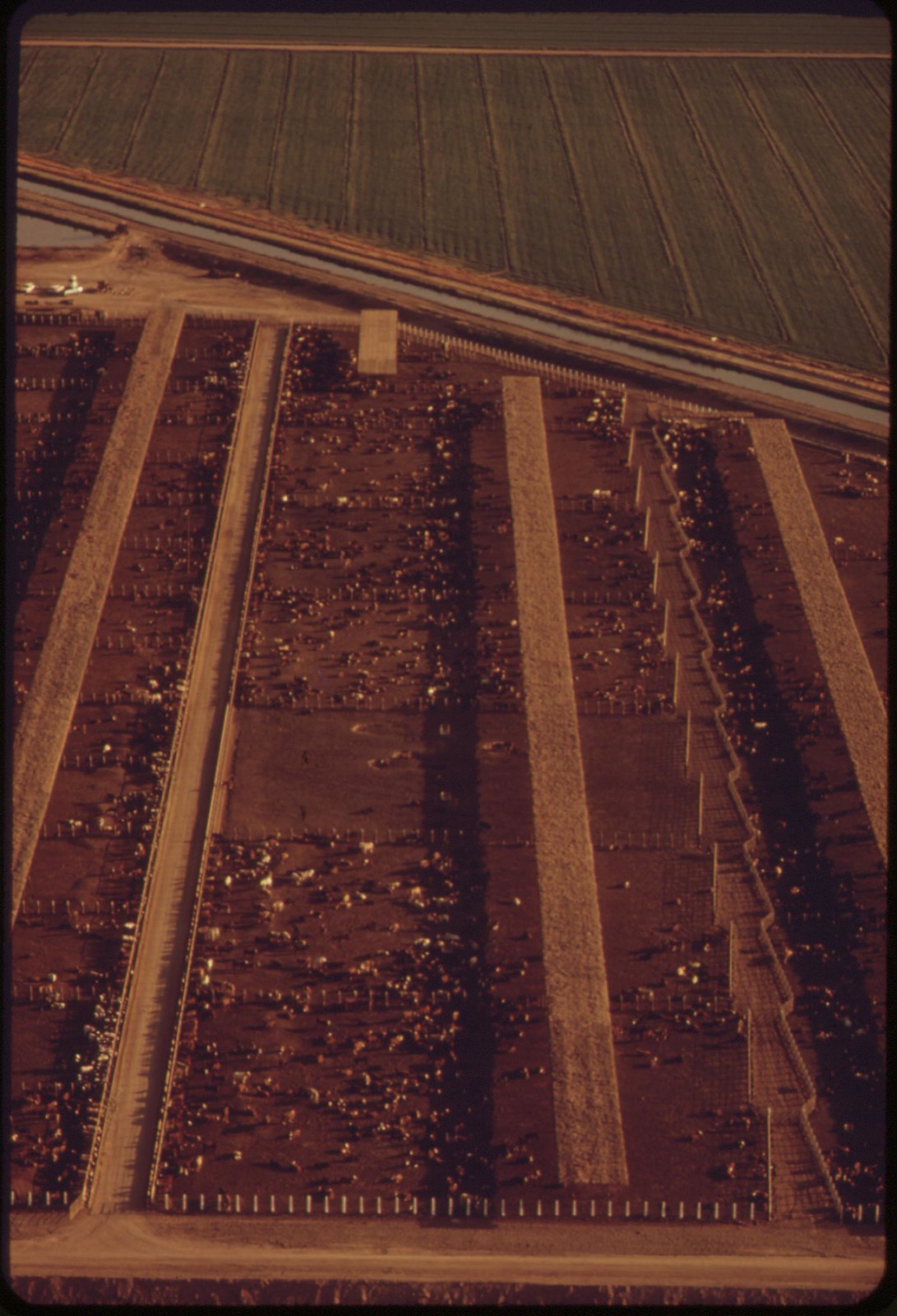
And just across Fawcett Road are El Toro's current feedlots. Hundreds, even thousands of cattle are housed in dense pens, eating their way to eventual slaughter. In the furnace-like heat of the Imperial Valley summer, the smell of cattle waste wafts across the town, giving neighbors a good idea of what the dust is made of. So many feedlots cover the valley that the smell gets to Seeley as well.
Other air pollutants also come with the industrial agriculture that has dominated the Imperial Valley since the All-American Canal, and the Alamo Canal before it, brought Colorado River water to the desert in 1900. Seeley and Heber themselves were the products of the land boom that followed. The post office in Seeley, named for developer Henry Seeley, opened in 1909. Heber is even older, and was founded by the Imperial Valley Land Company in 1903, and named for developer A.H. Heber.
Today, the land surrounding the two towns is farmed in huge tracts of hundreds of acres. To make the desert productive, ranchers not only built the world's largest irrigation canal, but also developed farming methods dependent on chemical fertilizers and strong pesticides. Even with the recent advance of some large-scale organic operations, it's still common to drive a local highway and see a small airplane called a cropduster make circular swoops and passes over the green crops. From the nozzles on its wings, a fine spray of pesticide coats the leaves below. Air moves, however, and with it, the chemical spray from the plane -- what's called pesticide drift.
Communities like Seeley and Heber, located in the middle of the fields, can get that drift, even diluted by breezes and wind.
In other fields, tractors pull a rig with tanks of chemicals, and spray nozzles that release them just inches from the plants. Less drift, perhaps, but after many years, powerful pesticides and fertilizers are omnipresent, not just in the fields, but in the small communities they surround as well.
Then, when the crops are in, Imperial Valley farmers are notorious for burning. Big mowers cut and collect the stalks left from crops after they're harvested. Piles of dry plants are then set alight next to local fields and highways. The smoke is often so intense that roads are blocked to traffic, or at least they're supposed to be.
Imperial Valley Residents Must Fight for Right to Breathe Clean Air: David Bacon, New America Media, 3 March 2012

On state highway near Plaster City, California. The white dust is from a gypsum plant.

Gypsum plant at Plaster City, California. White dust from the plant is part of the atmosphere
.
![]()
Moving cattle raise dust along the highway -- near Calpatria in the Imperial Valley
![]()
Dry heat and high winds equal eye-stinging, nose itching dust storm, Imperial Valley
.
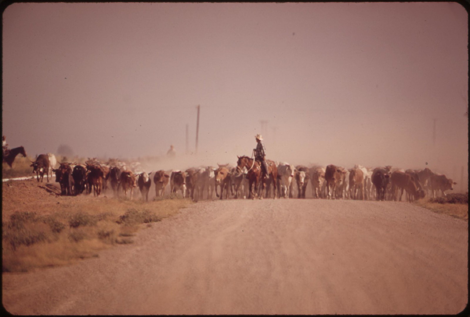
Moving cattle raise dust along the highway -- near Calpatria in the Imperial Valley

Dry heat and high winds equal eye-stinging, nose itching dust storm, Imperial Valley

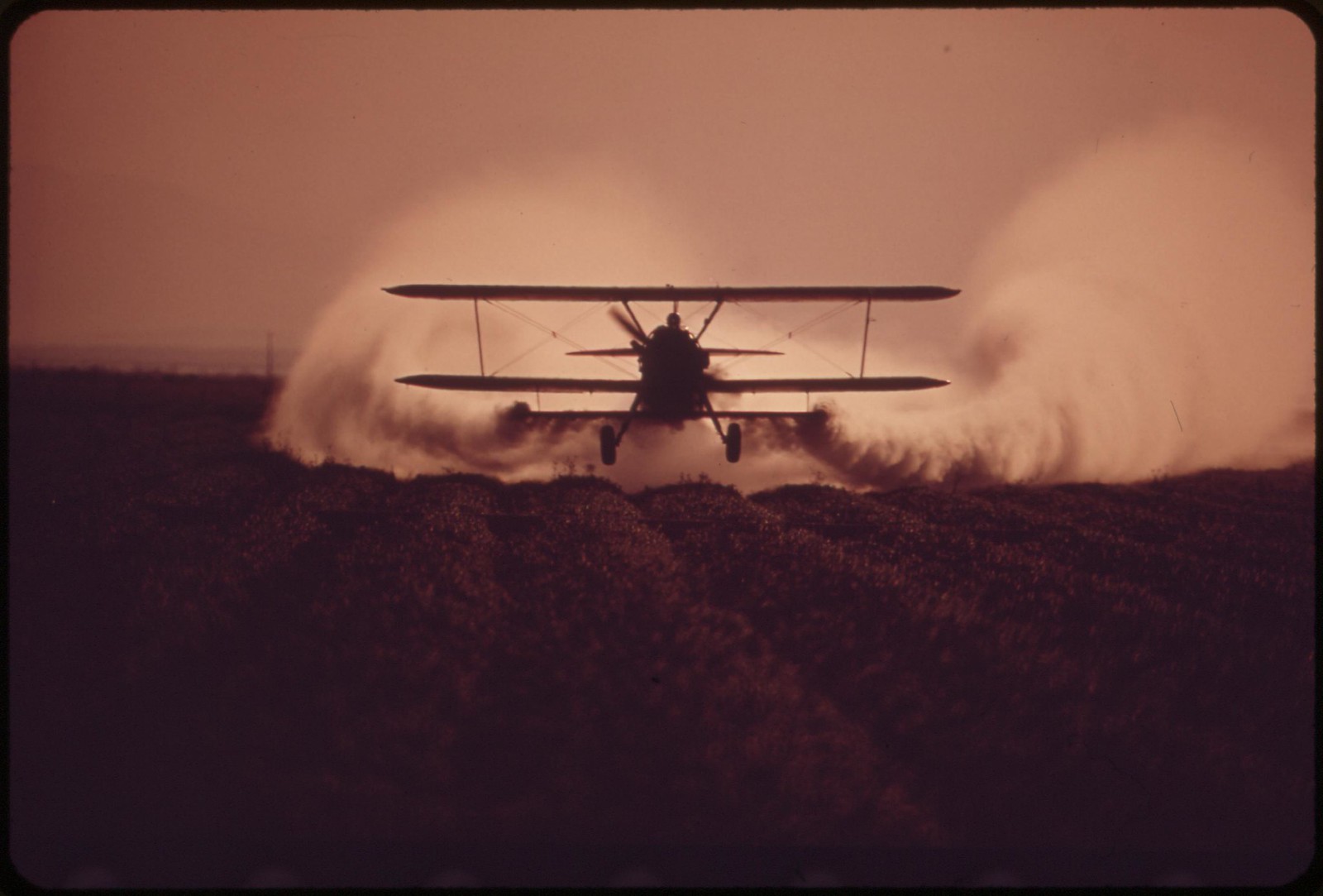

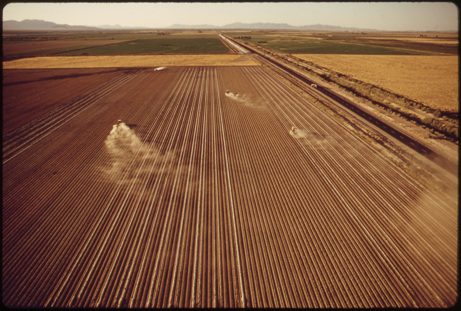
Spraying fertilizer near El Centro, California
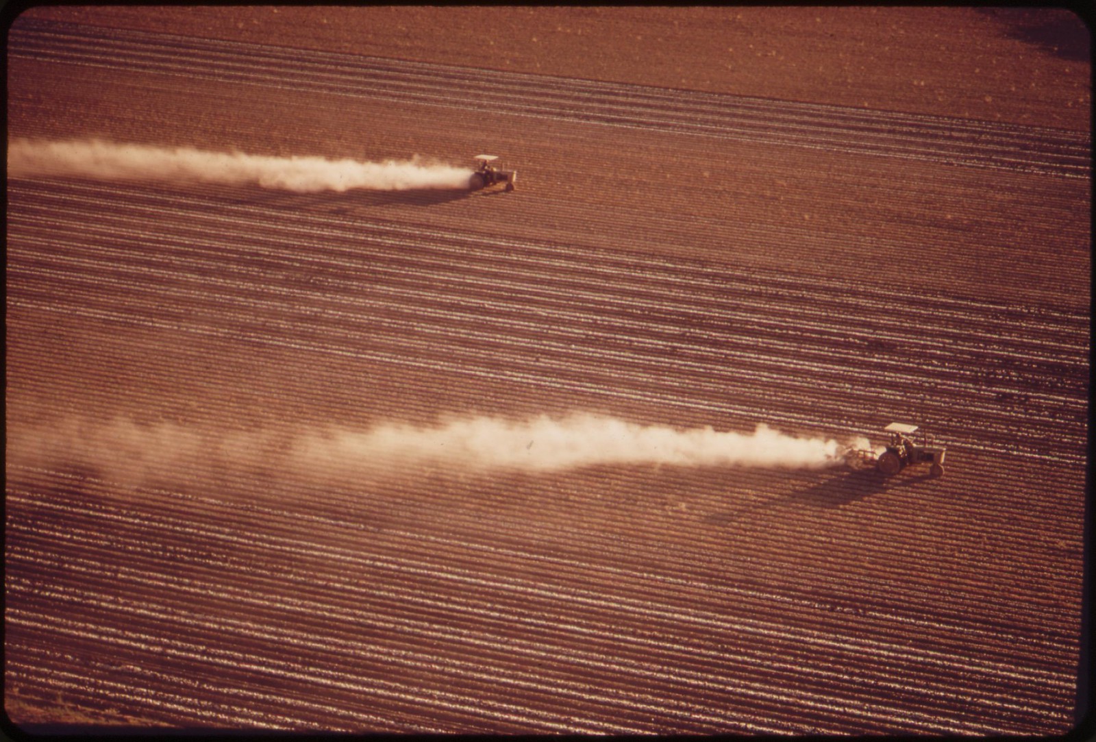
Fertilizing, Imperial Valley
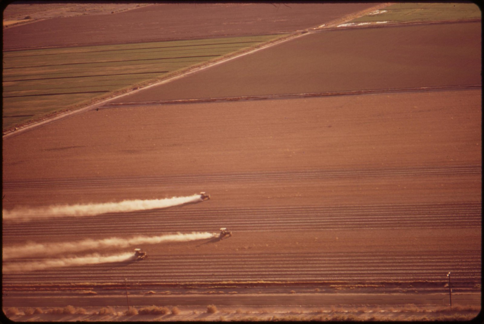
Fertilizing fields, Imperial Valley
![]()
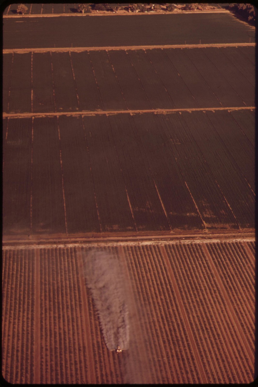
Fertilizing, Imperial Valley
Fertilizing near El Centro, California
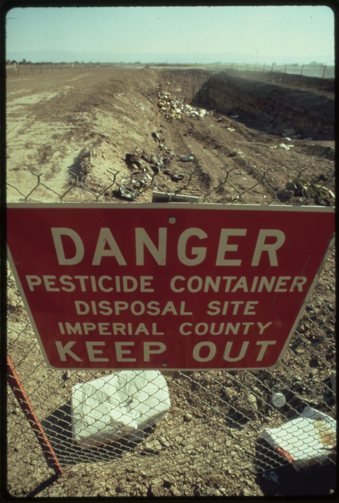
Special precautions must be taken for disposing of hazardous materials, as in this area near El Centro in the Imperial Valley

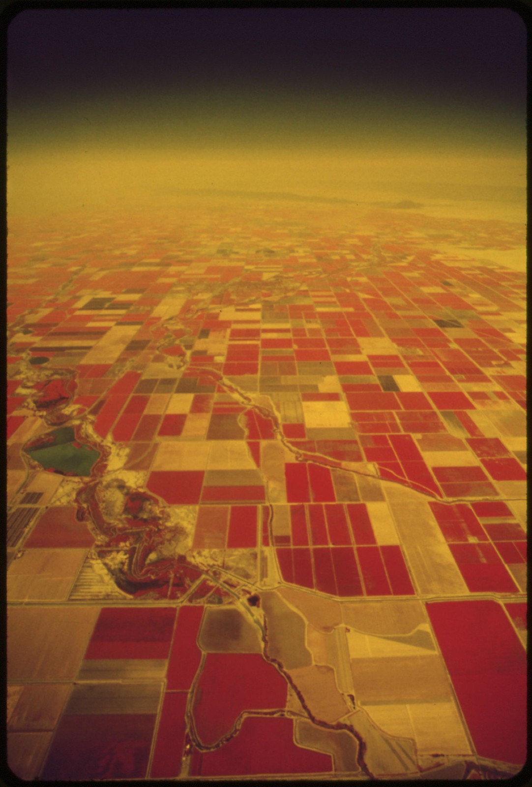
Farmland of the Imperial Valley, and the Salton Sea (infrared film)
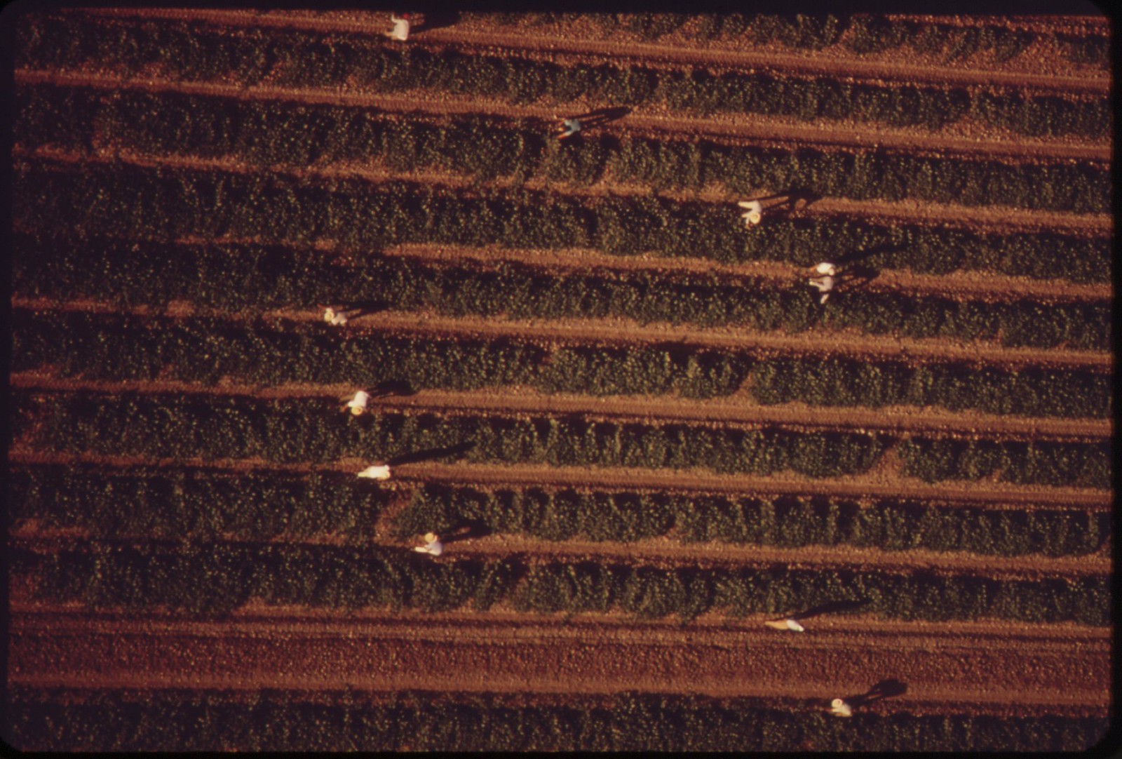
Pickers in field near El Centro, California
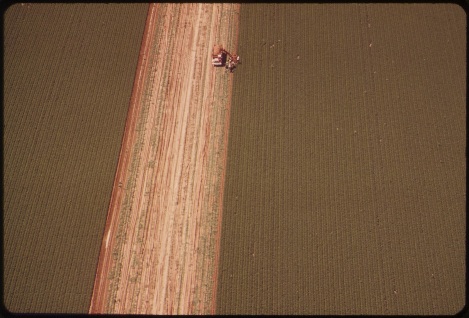
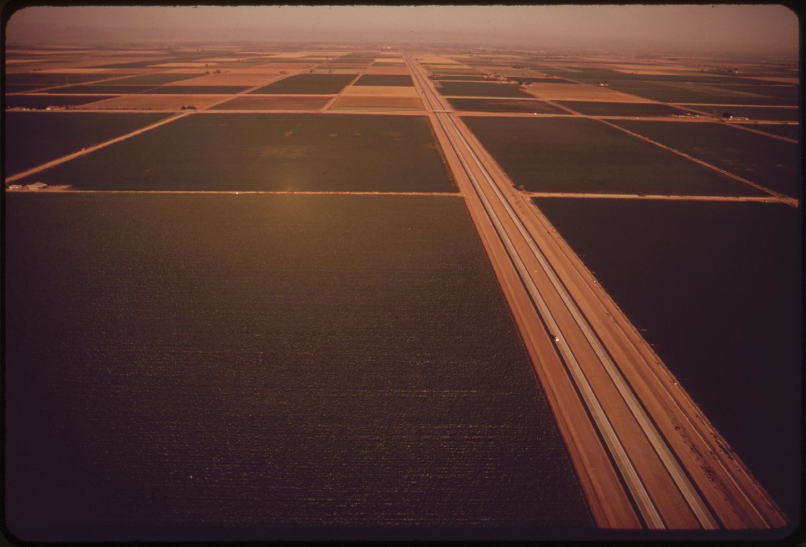
Irrigated field in the Imperial Valley
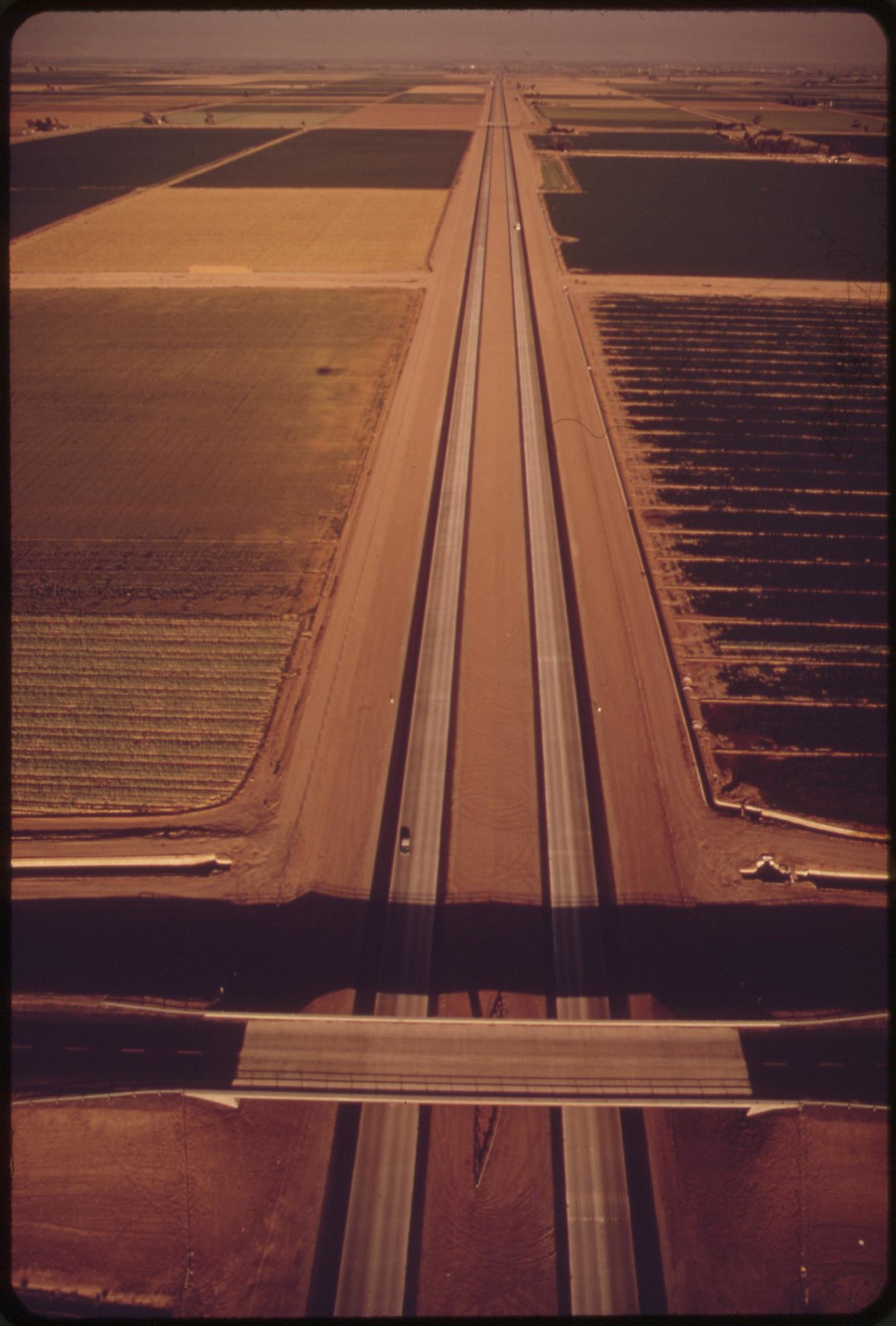
Irrigated fields of the Imperial Valley

Cracked earth -- a result of irrigation and intense dry heat

Sand dunes in the western part of the Imperial Valley
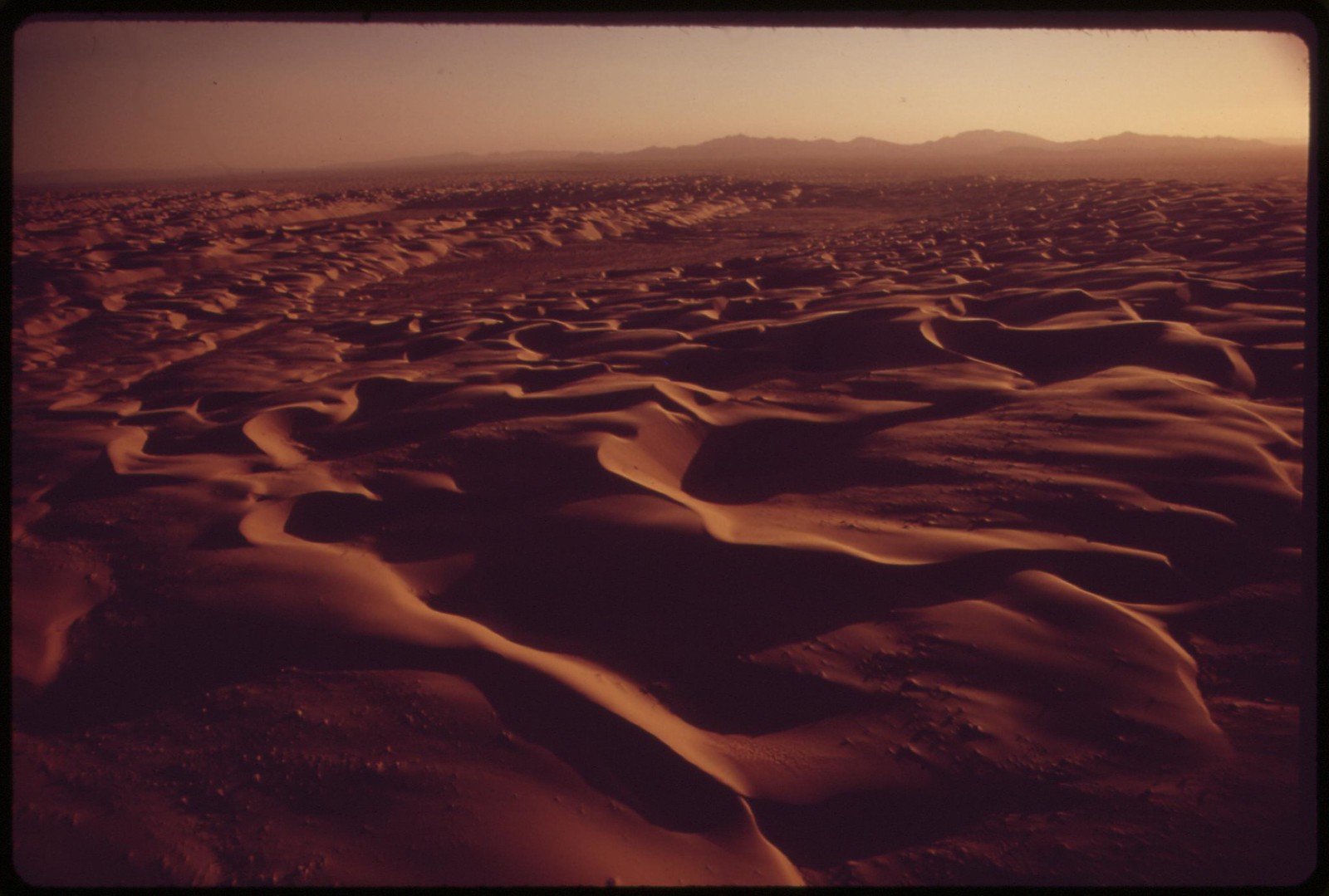
A hundred-mile ribbon of sand dunes separates the Chocolate Mountains of southern California from the Imperial Valley, which stretches from the Salton Sea into Mexico
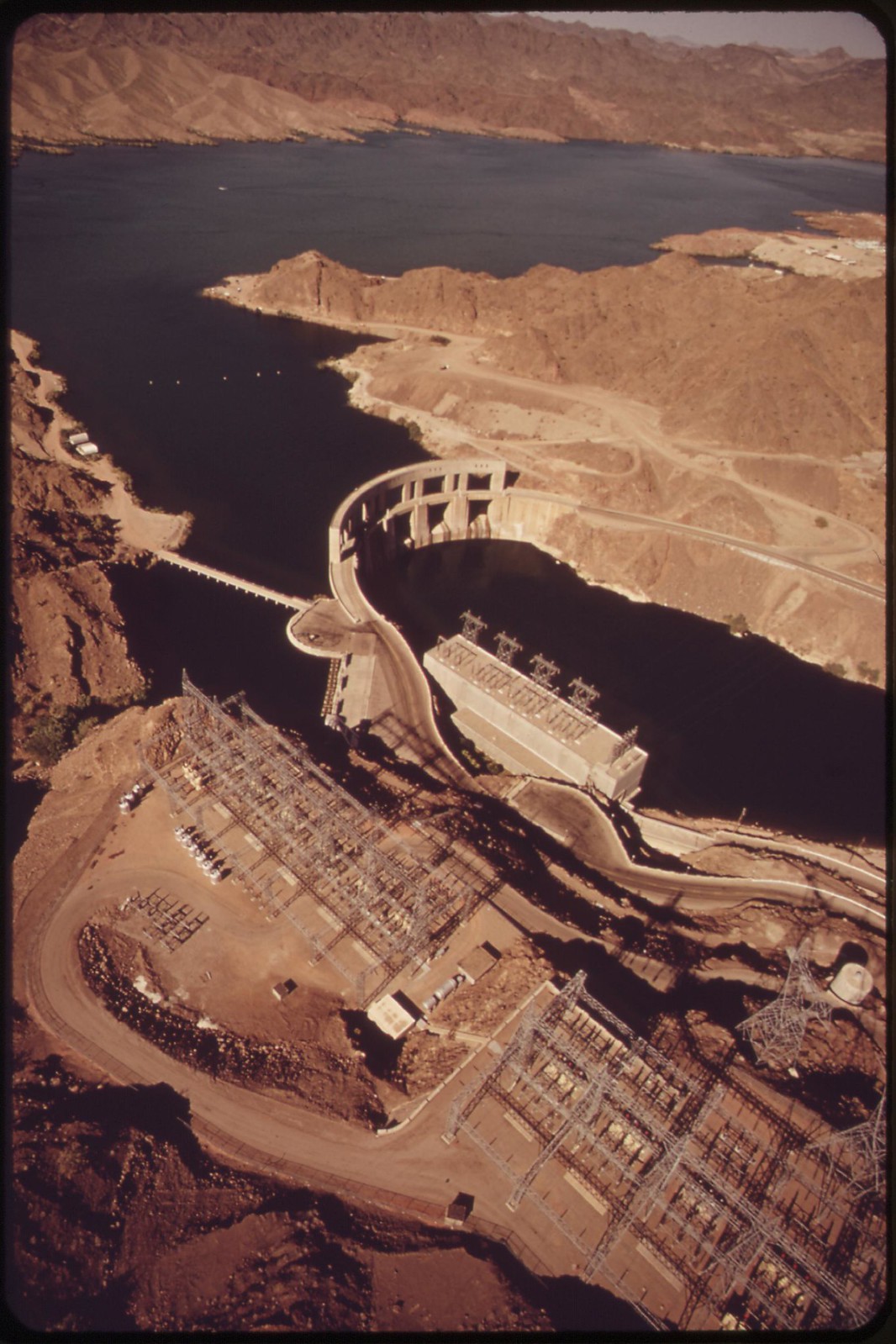
Parker Dam on the Colorado River forms the eastern end of the 150-mile metropolitan aqueduct which supplies drinking water to Los Angeles and intermediate cities
The All-American Canal transformed the Imperial Valley from desert to farm land with water from the Colorado River

The Colorado River feeds crops and irrigation (dark areas). Town of Needles, California in foreground.
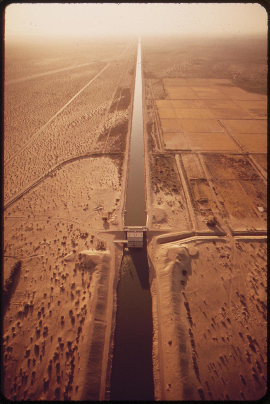
The All-American Canal feeding the thirsty Imperial Valley. Mexico on the left.
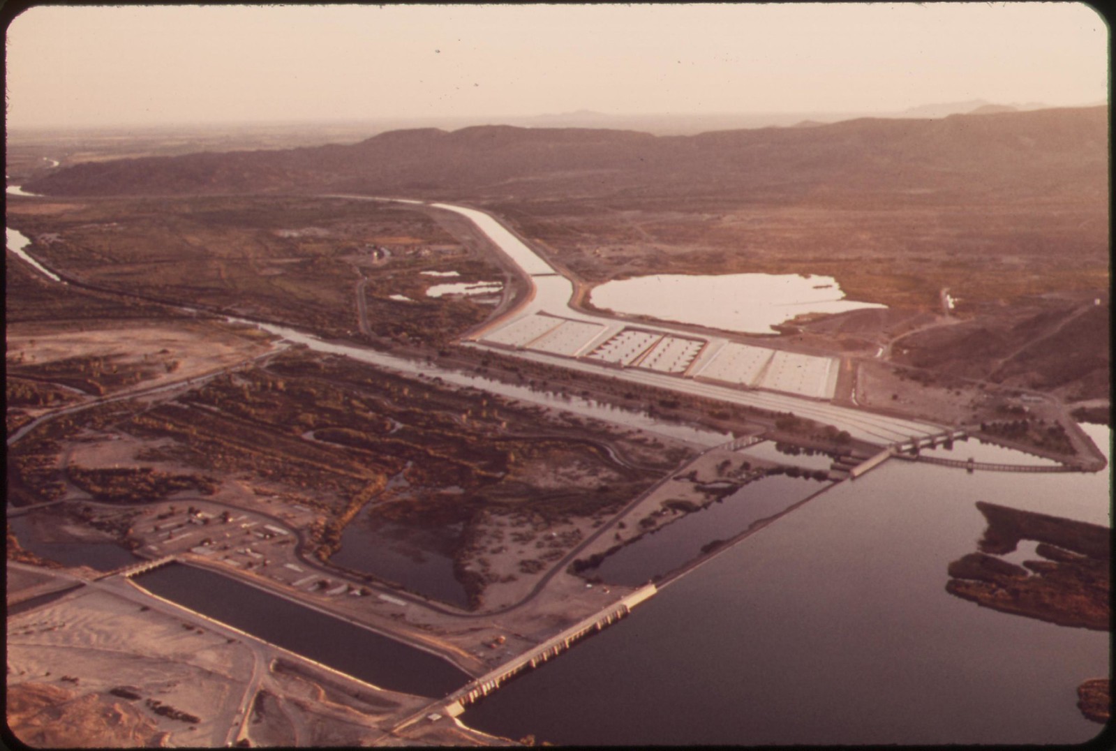
Imperial Dam takes last of Colorado River water for the United States. It diverts water into All-American Canal. Desilting basins in center background.
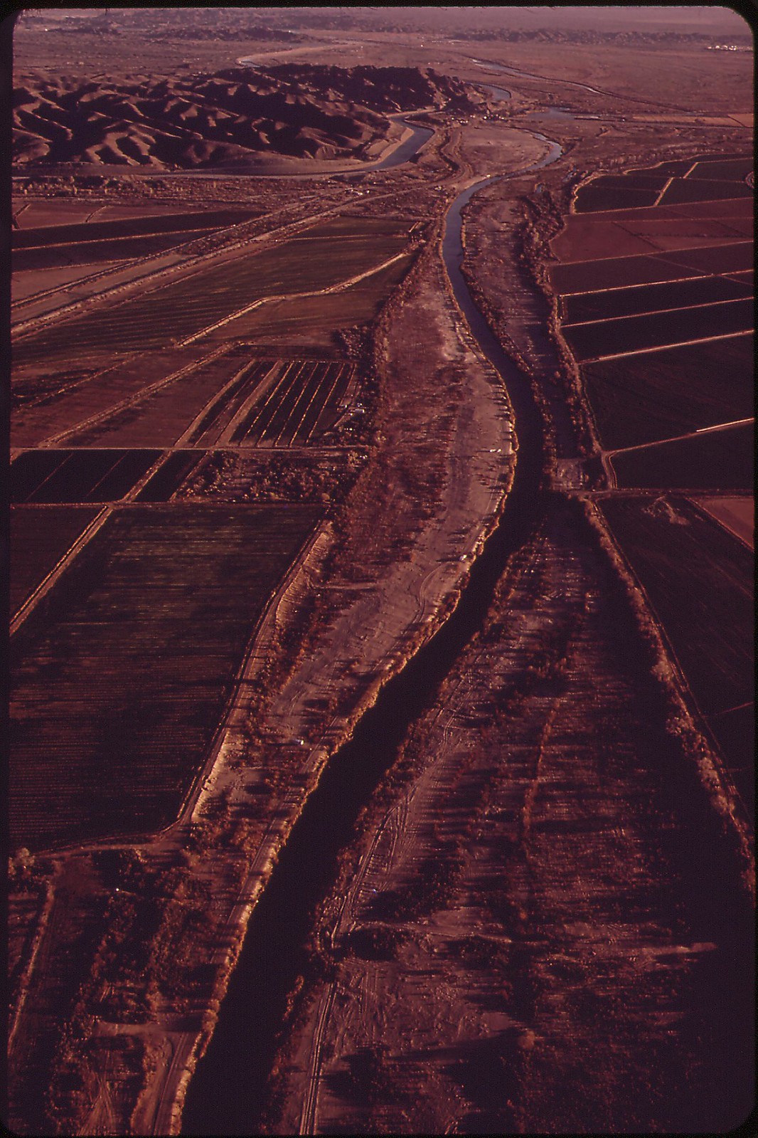
Shrunken Colorado River winds between onetime flood banks. This is all that's left after Imperial Dam (background) has diverted four-fifths of the river into the All-American Canal.

Colorado River at the Mexican border, Yuma County, Arizona
![]()
Colorado River on the Mexican side of the border
![]()
Colorado River on the Mexican side of the border
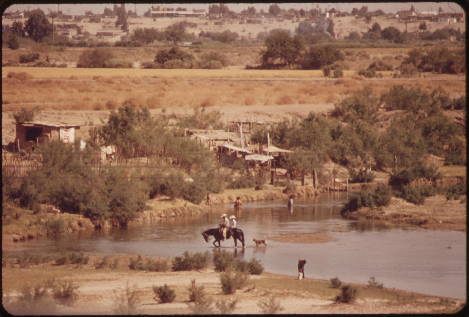
Colorado River on the Mexican side of the border
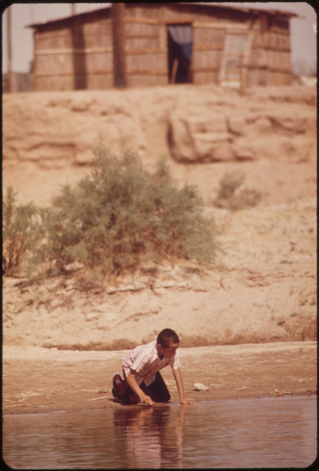
Colorado River on the Mexican side of the border
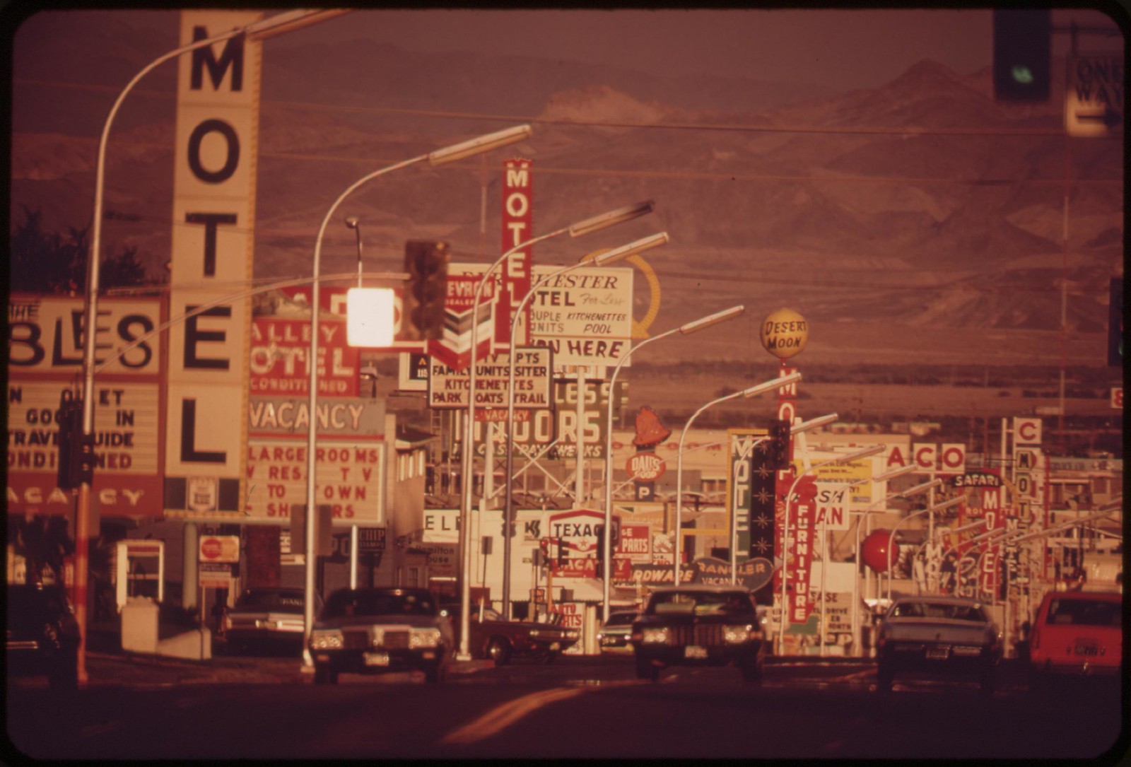
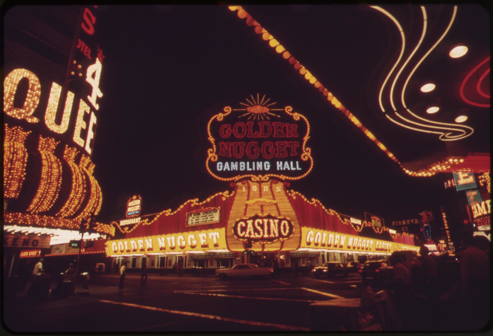
Las Vegas street scene
Night lights, Las Vegas
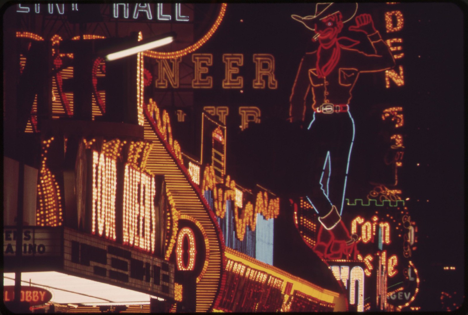
Night lights, Las Vegas
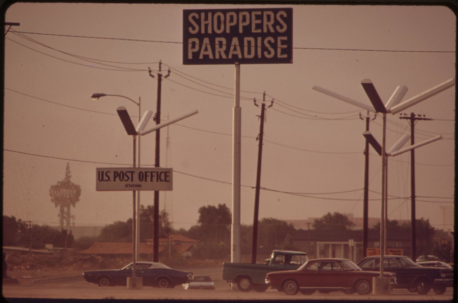
Las Vegas shopping center
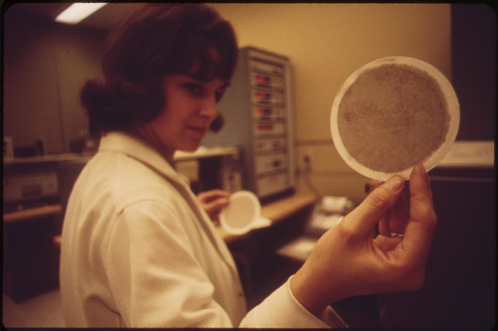
Laboratory technician at EPA's Las Vegas National Research Center holds up an air filter
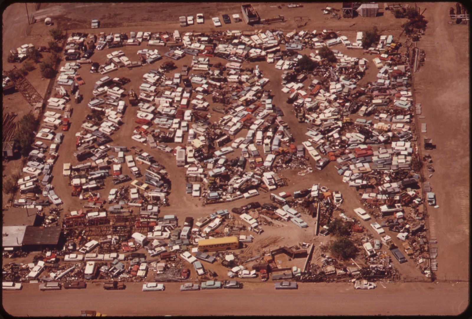
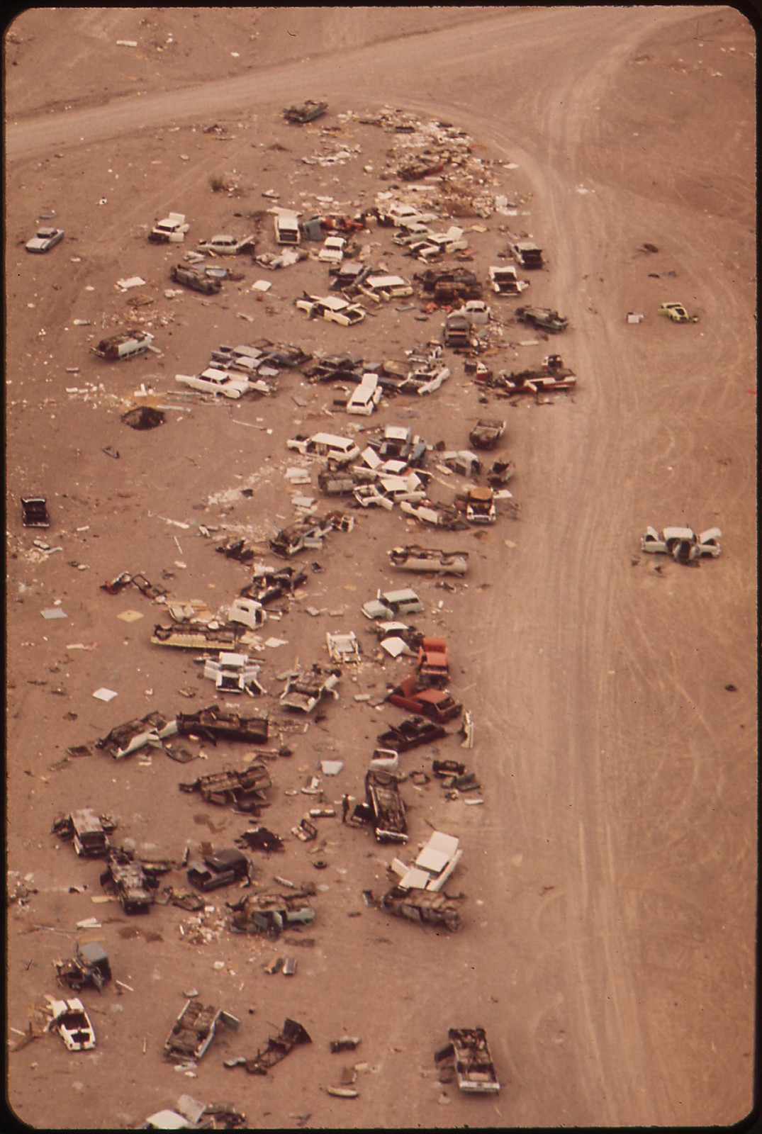
Auto dump, Henderson, Nevada
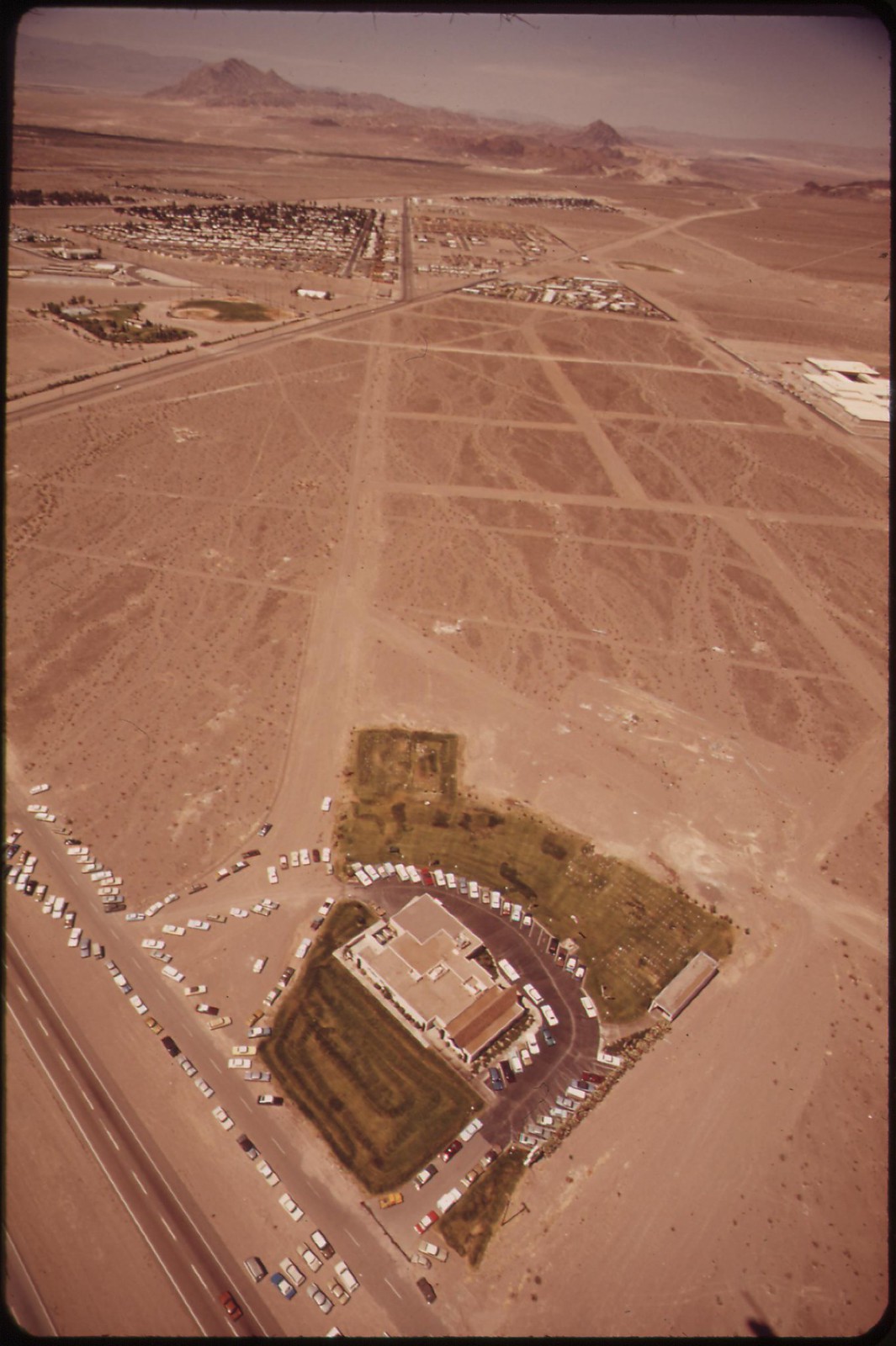
Funeral home, Henderson, Nevada
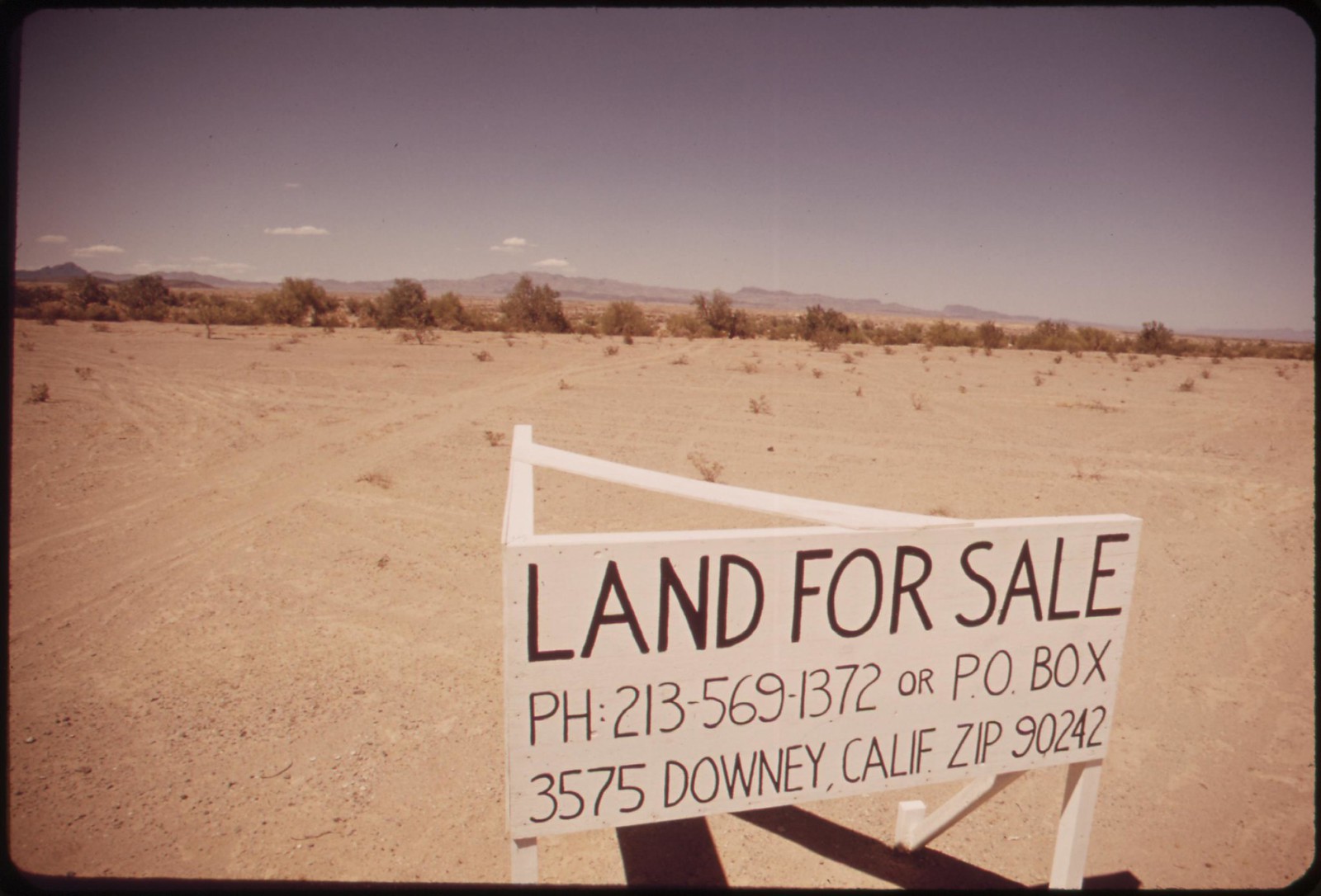
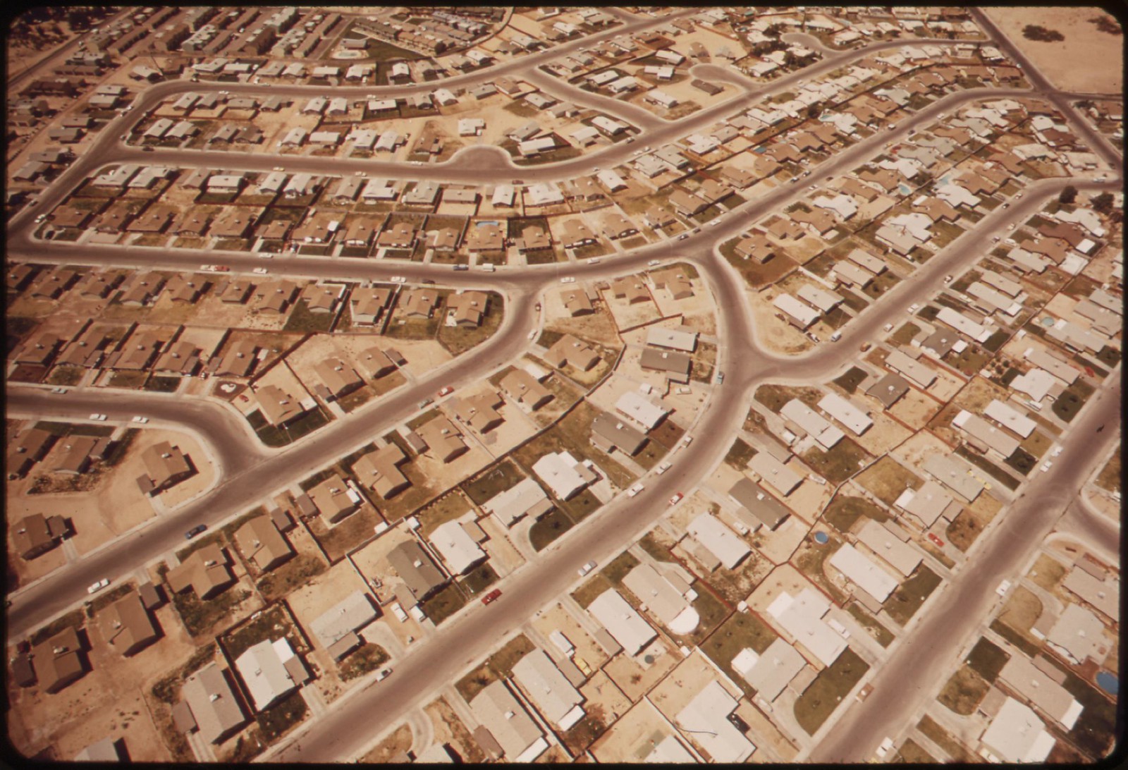
Desert real estate

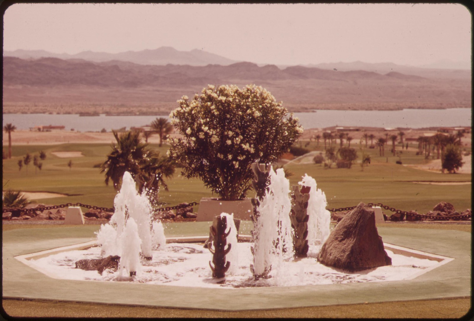
Housing, Lake Havasu City, Arizona
![]()
Housing, Lake Havasu City
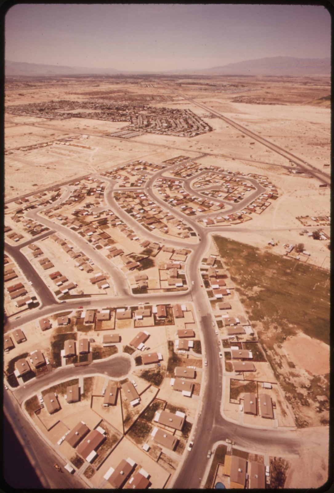
Housing, Lake Havasu City
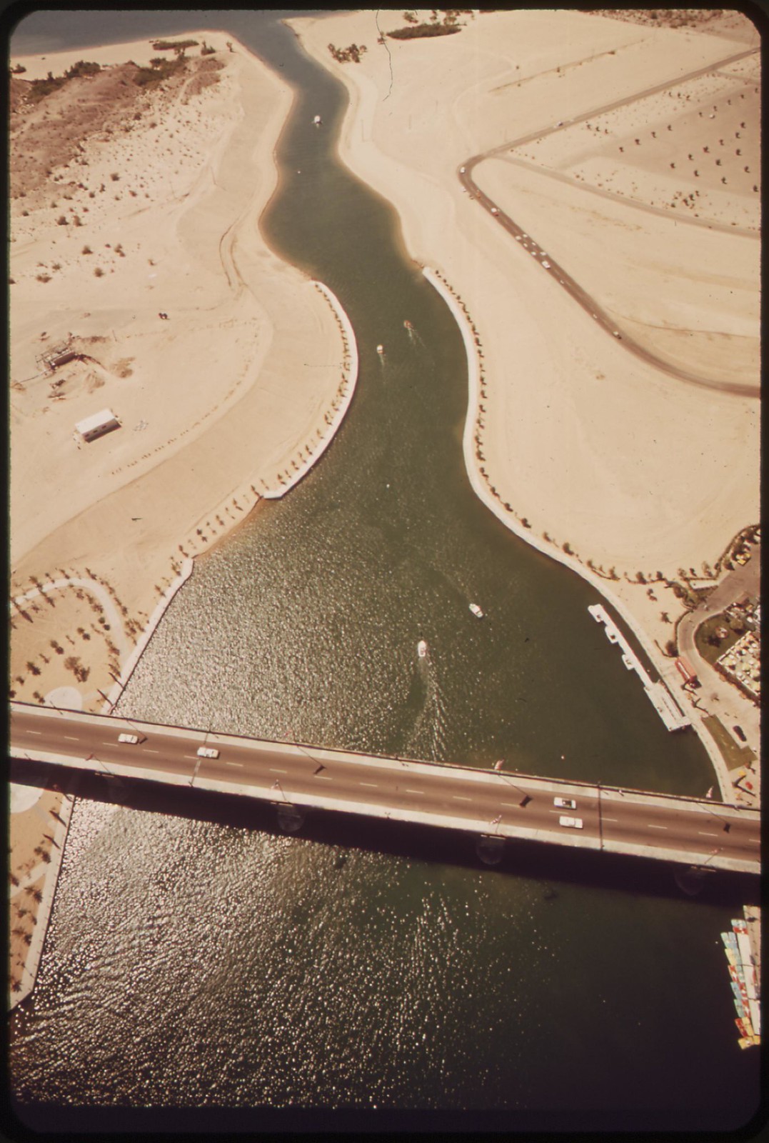
London Bridge crosses Havasu Lake at Lake Havasu City, Yuma County, Arizona. Rescued from demolition by an American buyer, the famous old span was transplanted here in 1971.
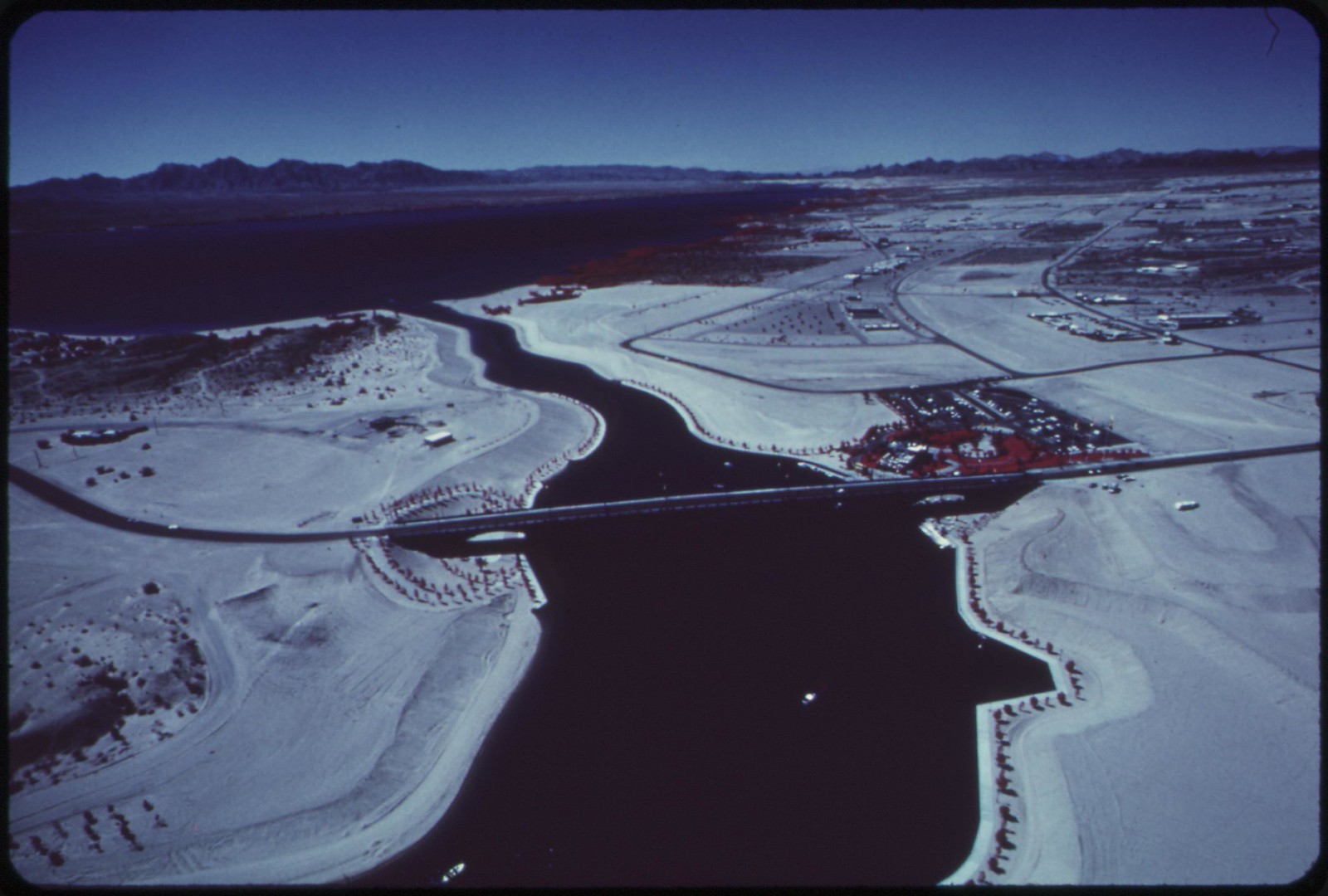
London Bridge, transplanted here in 1971, crosses arm of Havasu Lake, which is fed by the Colorado River, Yuma County, Arizona
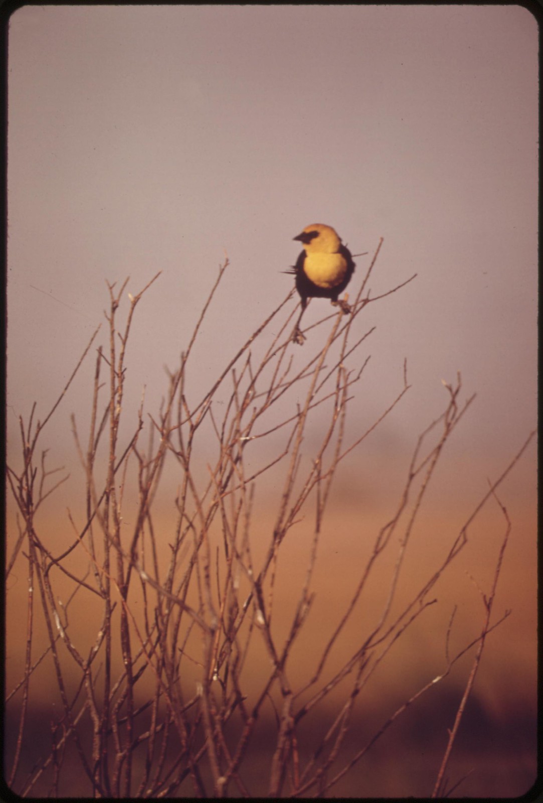
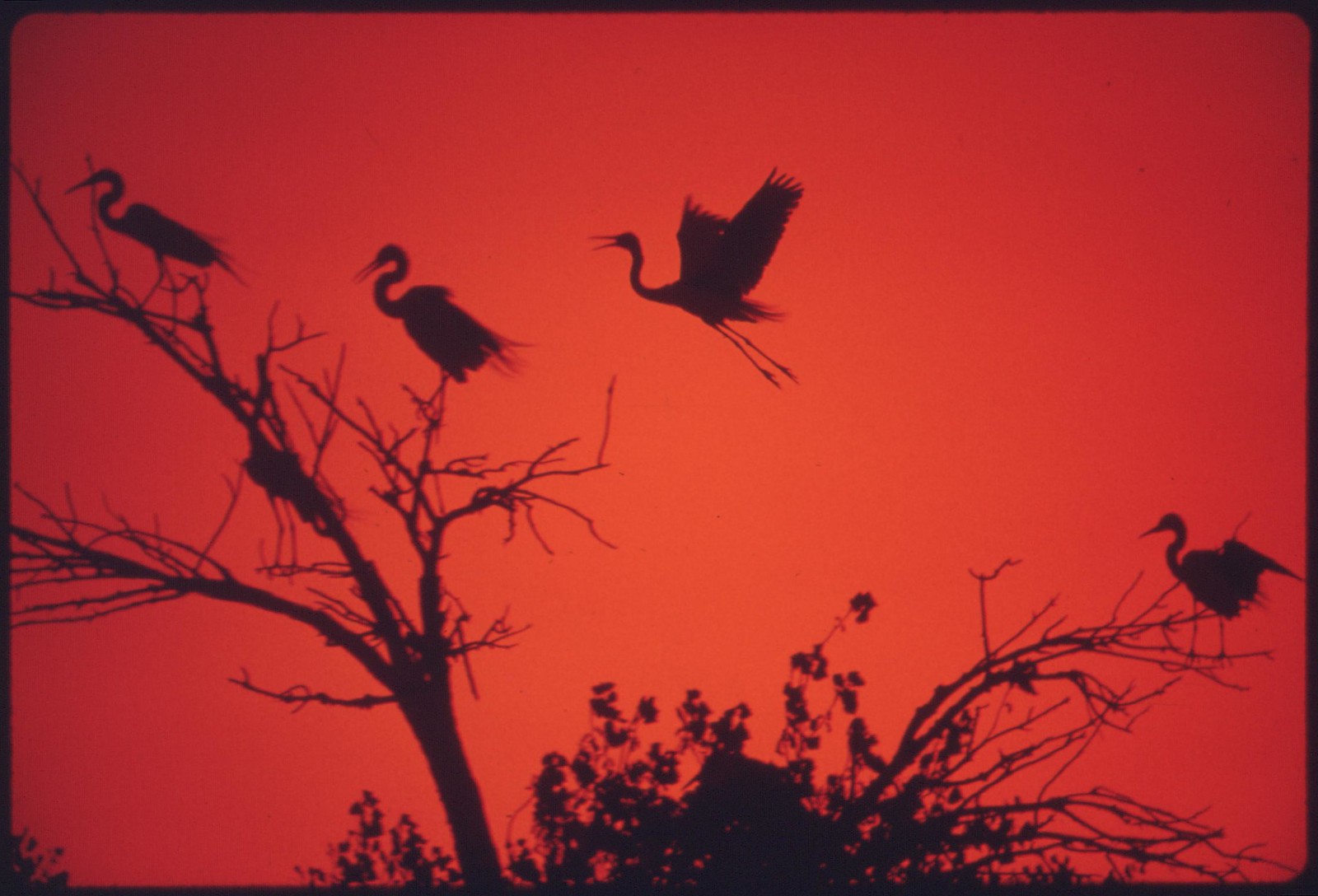
American Egrets roosting and nesting on the Colorado River Indian Reservation near Parker, Yuma County, Arizona
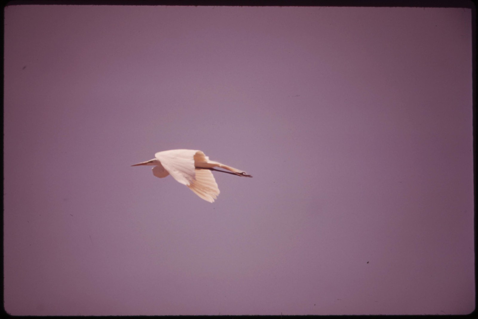

Marshland and migratory birds at Lake Havasu National Wildlife Refuge, which is about equally divided between California and Arizona. The lake is fed by the Colorado River.


Marshland fowl at Salton Sea National Wildlife Refuge
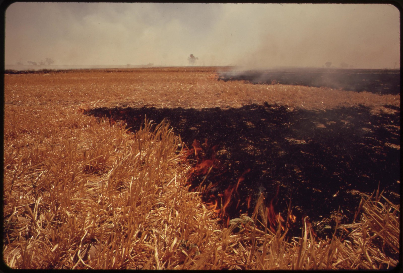
This entire field of straw west of El Centro in the Imperial Valley, burned off in less than half an hour. Smoke was visible for 20 miles. Owner wished to clear field quickly for planting another crop.
Photos by Charles O'Rear for the Environmental Protection Agency's Project DOCUMERICA, May 1972 (US National Archives)
