.
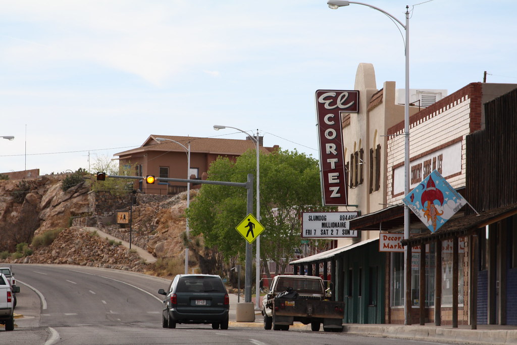
Street scene, Truth or Consequences, New Mexico: photo by Laura Hertzfeld, 18 March 2009
![]()
"But how far do I have to go?"
He shook his head and pushed me out the door
With eyes as blue as the sky
And as big as all Utah.
The wind hummed Mood Indigo
As he left me in a cloud of dust,
Rubbing my eyes
And checking my manuscript book.
I walked as far as Truth or Consequences.
The wind bit and stung me.
Bugs bit into my skin.
The desert was wide, quiet.
I saw it as a job.
I kept on walking.

Roadside signs, Truth or Consequences, New Mexico: photo by Laura Hertzfeld, 18 March 2009
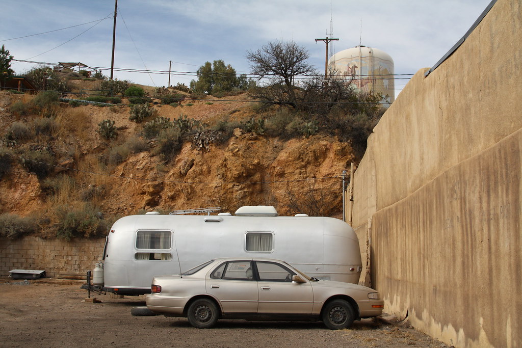
Airstream trailer with car and water tank, Truth or Consequences, New Mexico: photo by Laura Hertzfeld, 18 March 2009
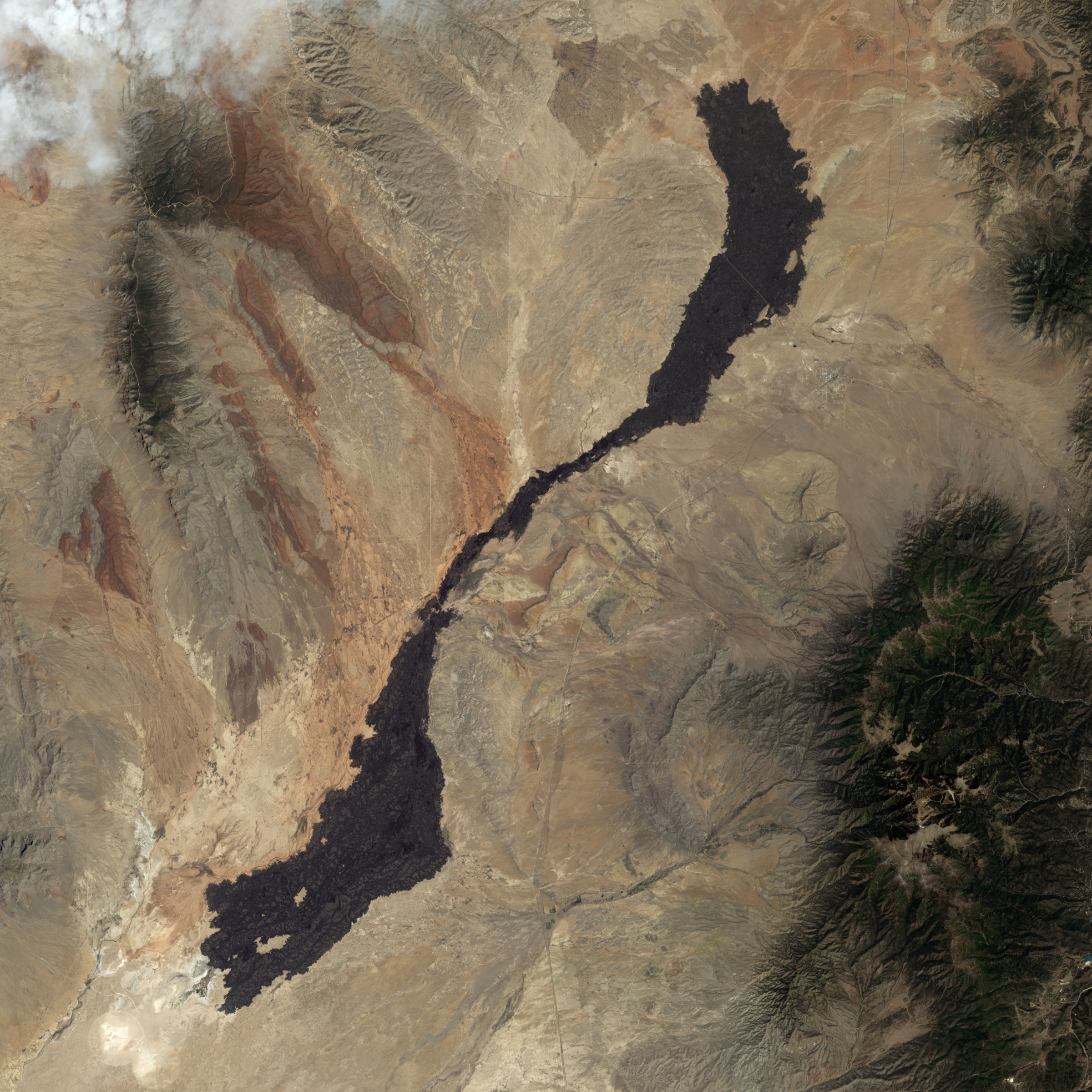
Carrizozo Malpais lava flow, New Mexico. The lava flow varies in width from 1 kilometre along its slender neck to 5 kilometres at either end. Within its curving borders, the Carrizozo lava flow has a uniform dark colour, thanks to its basalt content. Basalt tends to flow easily, and this lava flow is described as a pahoehoe flow -- advancing through lobes or toes that separate from a cooled crust. The high point on Carrizozo is Little Black Peak. This is a cinder cone -- a simple type of volcano made from congealed droplets and blobs of lava that erupted from a single vent. Near the lava flow’s north-eastern end is the town of Carrizozo. Both south-east and north-west of the lava flow, the landscape appears dark, but this results not from volcanic rocks but from vegetation-lined hills: image by Jesse Allen/NASA Earth Observatory, using data provided by the US Geological survey Landsat-7 satellite, 30 July 2009 (NASA)

NASA image taken by a crew member aboard the International Space Station, flying at an altitude of approximately 235 statute miles on 27 June 2011, showing the Las Conchas fire in the Jemez Mountains of the Santa Fe National Forest in north-central New Mexico. The fire is just southwest of Los Alamos National Laboratories: photo by NASA/Associated Press, 27 June 2011 (NASA)
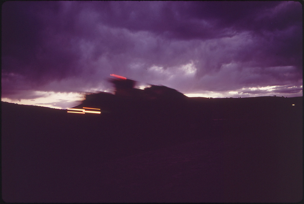
Hauling coal at night from Peabody Coal Company Black Mesa strip mine. Is resultant run-off from strip mines destroying portions of Hopi Indian agricultural land?: photo by Lyntha Scott Eiler, c. 1973 for the Environmental Protection Agency's Documerica Project (US National Archives)
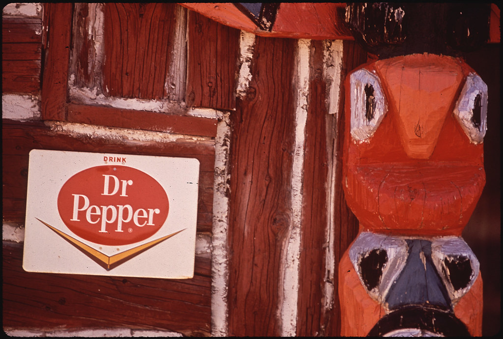
Totem pole at a trading post (for tourists) on Hopi Indian Reservation, Arizona: photo by Lyntha Scott Eiler, June 1972 for the Environmental Protection Agency's Documerica Project (US National Archives)

The bridge that separates the town of Los Alamos, New Mexico, from Los Alamos National Laboratory is shrouded in smoke from the Las Conchas wildfire: photo by Craig Fritz/Reuters, 28 June 2011
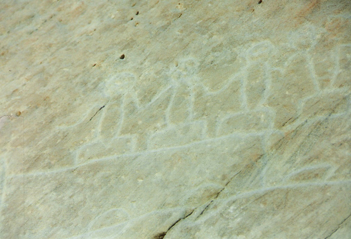
Hopi Prophecy Rock, near Oraibi, Arizona: photo by Tribal Ink News, 9 February 2006

Sparse vegetation in the gypsum dunes of White Sands National Monument: photo by Daniel Schwen, 4 April 2004
Sunset over White Sands National Monument, New Mexico: photo by Franzinho, 22 August 2009
